
[Enter your text here]
Blank

MAPPING CONNEMARA
& CONNACHT
How cartography defined O'Malley territory, & how cartographic espionage brought it down
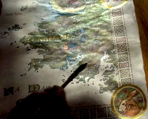
View Na Maira Ceilti in a larger map

We're still working on this section, but check back often for updates as we grow!
We'll be adding to the interactive map below, including film clips from our
Grace O'Malley film, placed on location where each scene is set.
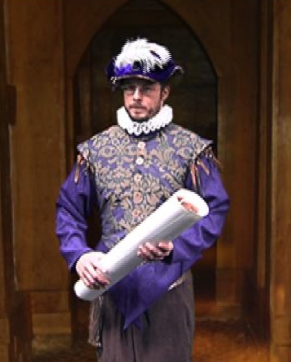
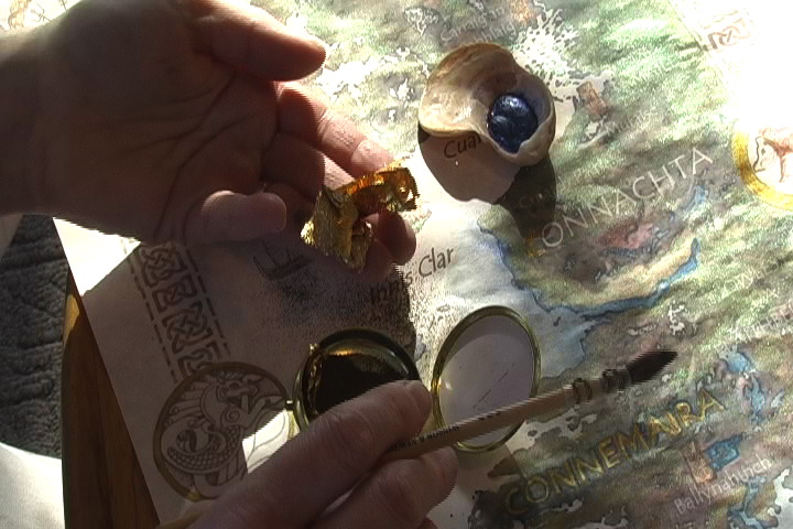
At Sir Richard Bingham's request, Sir John Browne
commits cartographic espionage in western Ireland,
secretly mapping O'Malley territory
in advance of British invasion
Grace O'Malley uses navigation and mapping skills starting from a young age, after her first voyage at sea accompanying her father on a trading mission from Ireland to Spain. While creating a map of the journey home, she thinks of all the colors of land and sea along the way.
Did you know?
The "Gaeltecht" of western Ireland is a region where traditional Irish Gaelic language and culture has
managed to survive and thrive, despite the 17th century British takeover and oppressive policies that ensued.
The Gaeltecht includes the traditional O'Malley and O'Flaherty clan territories, and is sometime referred to
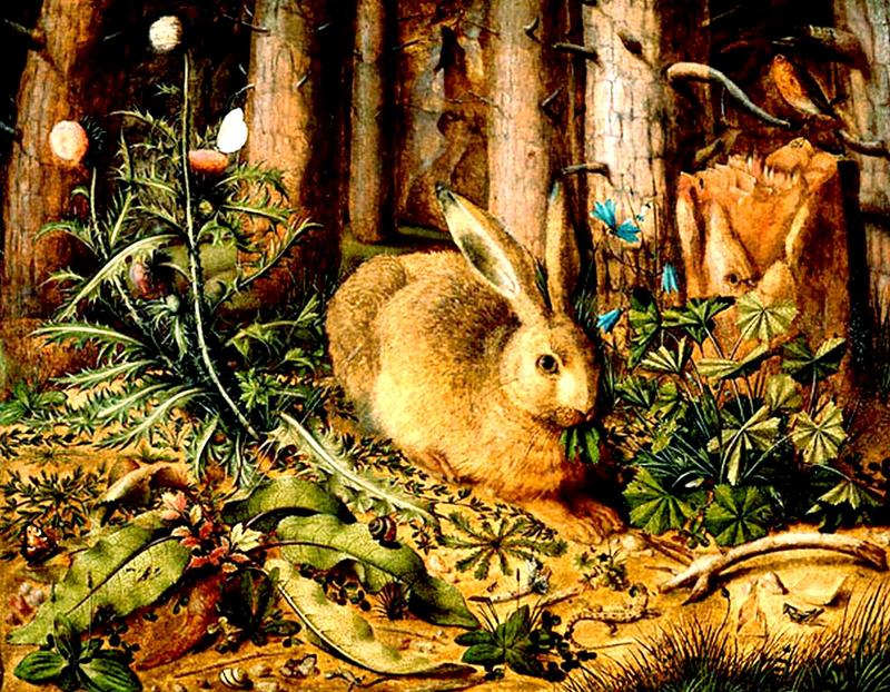
as the "Wild Hare's Corner" of Ireland, so-called for
the ancient Irish farming practice of leaving a portion
of farmland wild and uncleared in order to provide
safe haven for the Irish hare and other wild animals.
(music: "Kellers," written by Robb Carothers, featured on the
CD STELLAR ECHOES, copyright 2008 by "Uncle Shurley" )